This journal will be used to chronicle my adventures....and the first one is a doozy!
From May 13th through May 27th I will be participating in this year's Great Outdoors Challenge (TGOC). This is a self-supported walk across the highlands of Scotland from west to east. As a Challenger, you plan your own route that must be approved by experienced vetters to ensure a good chance at successfully making it across.
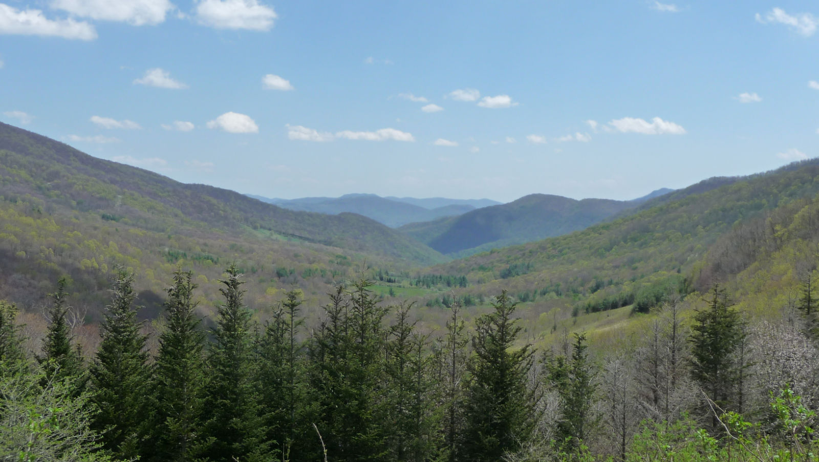
 |
| My Route (the blue line) |
I've
spent the last few weeks (which has now turned into months) reading all I can and staring at maps of
Scotland and have come up with, what I think, is a nice route for my
walk across the highlands that will include the 2nd tallest Munro
(mountains over 3000 ft.) in Scotland, along Loch Ness, past ruins of
former inhabitants homes, and into some neat towns. All mileage is estimated as they have us plan our routes on the
1:50,000 scale maps which honestly doesn't have much in the way of
detail on the trails.
My route is about 185 miles, starting in Shiel Bridge and ending in Stonehaven. If you'd like to plug it into Googs Earth,
Click Here to download the kmz file. (Keep in mind that since I
mapped this using software other than Google Earth, the lines don't
exactly match up to the trails on Google Earth.)
Here's an overview of my route I wrote for some hiking friends, so sorry if you're one of the people who have read this already:
I'll be flying from Palm Beach
International airport the night of May 11th, and arriving in Dublin
early on May 12th. From there I will be catching a RyanAir flight
across to Glasgow, where I will be purchasing fuel for my stove and then
taking a bus up to Shiel Bridge in northwest Scotland. I'll be staying
in a bunkhouse at the Kintail Lodge Inn where my Challenge begins on
May 13th (after a good night's sleep).
Day 1: Shiel
Bridge to Alltbeithe Youth Hostel (~12 miles) The first day will take
me north up the coast, and then up along the plateau on top of Beinn
Fhada at about 3330ft. I'll descend on the west side of the mountain,
where I'm led to believe there are some decent pathways down, and then
continuing onto the Youth Hostel. I'll probably camp somewhere beyond
the hostel as I'm not actually staying there.
Day 2:
Alltbeithe YH area to Glen Affric Forest near Plodda Falls (~14 miles)
This day consists of small ups and downs taking me down the Glen Affric
(Glen or Gleann means valley) to Loch Affric. I'll follow the trail
along the south side of the Loch and into the Glen Affric Nature
Reserve. I'll be passing a place called Cougie where apparently tea and
biscuits are served to challengers as they come in. Only one major
climb of about 500 ft. when I head south from Loch Affric.
Day
3: Glen Affric to Fort Augustus (~14 miles) This day will take me to
my first town stop of the trip. I'll begin by heading south following
some Land Rover tracks through the hills. This will be the biggest
climb of the day, although it is a very gradual climb, about 1,200 feet
over over 4 miles or so. I'll descend and cross the River Moriston at
Torgyle bridge. I'll eventually get to the Old military Road, which is a
road that was built by the British in the 18th century as a means to
move troops quickly to pacify the uprising Scots. I'll follow that into
Fort Augustus, which is situated on the south end of Loch Ness. I'll
be spending the night in a hostel in town and resupplying there.
Day
4: Fort Augustus to campsite along Glenmarkie Burn (~16 miles) A pretty
easy day, elevation-wise. A long, gradual climb as I head east from
Ft. Augustus and through the Glendoe Forest, which, as far as I can tell
from the maps and aerial photography, doesn't contain many trees.
eventually I end up following the Glenmarkie Burn where there are some
ruins of farmhouses with some good camping around them.
Day
5: Glenmarkie Burn to campsite along River Dulnain (~18 miles) I
follow the Glen Markie Burn til I get to a Bothy, then I follow the
River Eskin, and basically head easterly til I camp along another
river. (Not very descriptive, but basically just an easterly heading
day to get to the next mountain range).
Day 6: River
Dulnain campsite to Glenmore campsite (~14.5 miles) Follow River Dulnain
to bridge and the SE along a couple of rivers that eventually takes me
out to a main highway (as far as I can tell still only a couple lanes)
which will take me into Aviemore to resupply. From there I have to make
a decision bases on weather over the next few days. If weather looks
good I'll continue to Glenmore where I will be staying at a campsite.
If weather looks poor I will be staying at a campsite much closer to
Aviemore and will head south from there and then a long detour (adding
many miles) to my next town stop of Braemar, but bypassing summiting Ben
Macdui (the second tallest mountain in Scotland).
Day 7:
Glenmore Campsite to Derry Lodge (~17 miles) This is the part of my trip
that takes me into the Cairngorm Mountains where I'll be going over 3
munroes (weather permitting). The first six miles are a very gradual
climb to get me into position to get up onto the top of Ben Macdui. The
next five miles see me climb from about 2,000ft to almost 4,300 ft and
the summit. After that it's all downhill to my campsite in the vicinity
of Derry Lodge.
Day 8: Derry Lodge to Braemar (~9 miles) A
nice short day with minimal elvation loss/gain into the town of
Braemar. There is a land rover path that I will follow SE until I get
to Mar Lodge. Mar Lodge is a sporting lodge built for the use of the
Duke and Duchess of Fife. I've heard they do very nice things for
Challengers. From there it's another easy section into town.
Day
9: Braemar (Zero Day) This will be my one day off on the trip and will
give me a chance to resupply, clean clothing and gear, and relax.
Although as my route vetter said, it's Braemar Saturday on the
challenge, so apparently it will be an all day party, so the amount of
rest I get is dependent on what activities I choose to partake of.
Day
10: Braemar to Glas-allt-Shiel (~13.5 miles) Another easy start to a
day, with a real gradual five miles before climbing about 2,000 feet
over 4 miles or so to get to the summit of Lochnagar (3789 ft). The
last four miles is downhill to my campsite on the banks of Lock Muick
(I've been informed there is a majestic campsite there)
Day
11: Glas-allt-Shiel to Shiel of Glentanar (~14 miles) Aa relatively
easy day with only one major climb. I'll follow the lock NE to the
Spittal of Glenmuick where I will then follow the River Muick for about
four miles until a land rover trail breaks off and my climb of about
1,200 ft over Cairn Hillock begins. Once over the hillock I will do a
bit of off trail navigation to find my way down to the ruins in the
Shiel of Glentanar where I will find a campsite. From there it is about
2 miles from the Summit of Mount Keen, my last munroe of the trip.
Day
12: Shiel of Glentanar to Tarfside (and another Challenger gathering)
(~10.5 miles) I'll be camping at about 1,200ft of elevation and the
first two miles of the day will take me up to the summit of Mount Keen
at about 3,080ft. From the summit it's a drop back down about 1,000ft
and the Water of Mark that I will follow to Auchronie and then almost
due east into Tarfside. The town there allows the Challengers to use
their sports field as a campground and theMason's open up and feed the
Challengers dinner. And apparently there's a good pub where the
Challengers all rehydrate after a long day of hiking.
Day
13: Tarfside to ??? So my original plan was to end my hike at Donnattar
Castle near a town called Stonehaven. The way I had it broken up was a
22 mile day then an 8 mile day the following day as I'd need to catch
the train to the sign-out point in Montrose and I wanted to get there
relatively early. But in reading some blogs it seems like most
challengers head SE to a town called Edzell which has a great cafe for
lunch and then onto a caravan campsite that allows the challengers to
share the site at North Water bridge. This would make it about a 15
mile day. The more social, shorter route is how I'm leaning now,
another advantage being I could carry less food since I'd be in a town
for lunch.
Day 14: This alternate route will allow me to
walk to the sign out point if I wish. This would make the final day
about 10 miles including the walk into Montrose. Once I've signed out
I'll have officially completed my first Challenge. All that is left
after that is to shower and attend the dinner they put on for the
Challengers (and of course enjoy the company of the other Challengers
late into the night)
Day 15: I'll have most of the day to
hang out with the other Challengers but I have to get a train back to
Glasgow where I have a hotel room booked at the airport hotel where I
will get cleaned up and ready to fly home the next day (Saturday, May
28th).
I just purchased a new backpack to use on the trip, the
Hyperlight Mtn. Gear 3400 Southwest Pack,
which is a cuben fiber backpack, meaning that it's waterproof. This
will be a nice change as it won't absorb water weight. You can click on
the link to see the details. I'll be writing a review on this after I take it on a few shakedown hikes.
I've
also picked up a few other pieces of gear for this trip to account for a
different type of backpacking than I'm used to. First I purchased a
map case as I'll need my maps handy and waterproof with the crazy
scotland weather. I also got a new inflatable pillow as mine broke on my last backpacking trip in May 2015 (on the first night, of course), a compass that allows
me to follow a bearing, an external battery to charge my phone (since
my phone will allow me to get an exact GPS reading for times when I'm
not 100% sure I am where I think I am), new darker hiking pants on
account of all the mud, and a 20oz bottle holder that attaches to my
shoulder strap. Since there's so much water in Scotland I'm basically
only going to carry the 20oz bottle of water at any given time. This
will also save me a ton of weight as I'm used to carrying 2-3 liters of
water at a time.
So that's it for now. I'll be writing some gear reviews as I test out my new stuff and keeping everyone updated on the latest information about my trip.